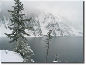
Snow Lake
August 24, 2008 - Me
7 1/2 Miles rt - 1,700 ft elevation gain - maximum elevation 4,100 ft
Location: Alpine Lakes Wilderness Washington
Difficulty: Moderate
Hiking Time: 6 hours round trip
Usage: Very Heavy
Best Time: July to late October
Permits Required: Northwest Forest Pass
Driving Directions:
Take I-90 to Snoqualmie Pass Exit 52 and turn
left onto Alpenthal road, toward the Alpenthal ski
resort. From Cle Elum, take Exit 53, turn left and
go under the freeway, then turn right at the road
end. Pass the Snoqualmie ski area and follow
signs to the Alpenthal ski area. Park in the
Alpenthal ski area parking lot. The trailhead is
located at the east side of the lot, opposite the ski
resort.
Trail Tip:
Snow lingers late in season
Snow Lake Hiking Route:
The trail begins gradually in and out of trees. At about 2 miles
reach a fork where left fork continues to an overlook of
Source Lake. Turn right and head upward as the trail gets
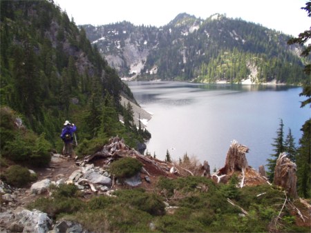
much steeper. At 3 miles, reach a side path to the overlook
high point with a great view, if the lake’s not snowed over.
There are many picnic spots here. The main trail drops
sharply ½ mile to the shores of Snow Lake, and rounds the
shore for ½ mile to where the Rock Creek trail comes up from
the Middle Fork valley. Turn left toward the shore to find the
lakeside trail that switchbacks down to the lake outlet. At the
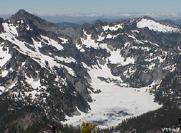
outlet, a log can be crossed to continue to Gem Lake.
Beyond Gem Lake, crowds thin as the trail heads down to the
two Wildcat Lakes.